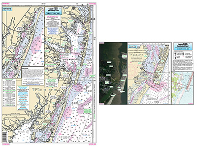
Small Boat and Kayak: Detail Ocean City, MD

Chart #: OMD402
MSRP: $13.95 Your Price: $12.55
Click Here to
Order This Product
Small Boat/Kayak Inshore fishing chart, double sided, laminated, 12 x 18 inches, Maryland
Detailed inshore chart from Little Assawoman Bay south to Newport Bay, on side a, other side is three detailed images of Ocean City, MD. A Satellite image, a NOAA Chart, and a topographical image. All charts include GPS coordinates, wrecks, reefs, shoals, fishing areas, amenities and restrictions. Please refer to our nearshore, offshore and other small boat/kayak charts in this area. Uses NOAA Chart 12211
Click Here to view all
Products in our Maryland Category
|
|
|
|
[ID][/ID][AID]Y[/AID][PID]p[/PID]
|
|
|
|
|
|
|
|
|
|
You May Also Be Interested In |
|
|
|
| |
|
| |
| ------------------------------------------------- |
|
|
| |
| ------------------------------------------------- |
|
|
| |
| ------------------------------------------------- |
|
|
| |
|
|
|
|