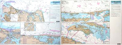
Inshore: Norfolk, VA to Oregon Inlet, NC

Chart #: CHO123
MSRP: $21.95 Your Price: $20.45
Click Here to
Order This Product
An inshore chart 1-2 miles off the coast detailing the bays. Chart is 19 x 26 inches, double sided, and laminated. Intra-coastal waterway from VA to NC
Side A: Norfolk, VA to Knotts Island, NC with an inset of Lynnhaven Bay. Side B: Currituck Sound to Pea Island, NC, including Croatan Sound and Currituck Sound. Also refer to our inshore, nearshore, offshore, and Small boat/kayak charts in this area.
Click Here to view all
Products in our Virginia Category
|
|
|
|
[ID][/ID][AID]Y[/AID][PID]p[/PID]
|
|
|
|
|
|
|
|
|
|
|
|
| |
|
| |
| ------------------------------------------------- |
|
|
| |
| ------------------------------------------------- |
|
|
| |
| ------------------------------------------------- |
|
|
| |
| ------------------------------------------------- |
|
|
| |
| ------------------------------------------------- |
|
|
| |
|
|
|
|