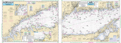
Nearshore Long Island Sound, NY

Chart #: LI15
MSRP: $21.95 Your Price: $20.45
Click Here to
Order This Product
Neashore 10 to 20 miles off. Chart is 19 x 26 inches, double sided, and laminated. Long Island Sound, NY
A fishing chart of the entire Long Island Sound. Side A: from Whitestone, NY east to the Housatonic River or Stony Brook, NY. Has a detail of Captain Harbor, Norwalk Harbor and Smithtown Bay. Side B: from the Housatonic River east to Orient Point, NY or South Lyme, CT. All charts include GPS coordinates, wrecks, reefs, shoals, fishing areas, amenities and restrictions. Also refer to inshore, offshore and small boat/kayak charts in this area. NOAA charts 12354 & 12363
Click Here to view all
Products in our Connecticut Category
|
|
|
|
[ID][/ID][AID]Y[/AID][PID]p[/PID]
|
|
|
|
|
|
|
|
|
|
|
|
| |
|
| |
| ------------------------------------------------- |
|
|
| |
| ------------------------------------------------- |
|
|
| |
| ------------------------------------------------- |
|
|
| |
| ------------------------------------------------- |
|
|
| |
| ------------------------------------------------- |
|
|
| |
| ------------------------------------------------- |
|
|
| |
| ------------------------------------------------- |
|
|
| |
|
|
|
|