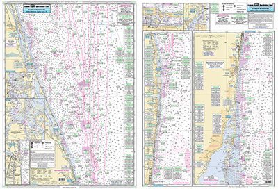
Nearshore: Bethel Shoal to Fowey Rocks, FL

Chart #: JUP35
MSRP: $21.95 Your Price: $20.45
Click Here to
Order This Product
Nearshore 20 - 30 miles off. Chart is 19 x 26 inches double sided and laminated Florida coastline
Side A: Winter Beach, Bethel Shoal to Jupiter Inlet and side B: Jupiter Inlet to Soldier Key, FL and Fowey Rocks. Detail insets of Fort Pierce, St Lucie, Jupiter, Lake Worth Inlet and Port of Palm Beach Inlets. Help with fishing locations from George Poveromo All charts include wrecks, reefs, shoals, fishing areas, amenities and restrictions. Also refer our inshore, nearshore, offshore and ICW booklets in this area. Uses NOAA Charts 11466 & 11474
Click Here to view all
Products in our Florida Atlantic Category
|
|
|
|
[ID][/ID][AID]Y[/AID][PID]p[/PID]
|
|
|
|
|
|
|
|
|
|
You May Also Be Interested In! |
|
|
|
| |
|
| |
| ------------------------------------------------- |
|
|
| |
| ------------------------------------------------- |
|
|
| |
| ------------------------------------------------- |
|
|
| |
| ------------------------------------------------- |
|
|
| |
| ------------------------------------------------- |
|
|
| |
|
|
|
|