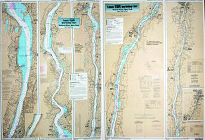
Inshore: Hudson River, NY

Chart #: HR118
MSRP: $21.95 Your Price: $20.45
Click Here to
Order This Product
An inshore chart. Chart is 19 x 26 inches, double sided, and laminated. Hudson River
An inshore chart detailing the River. Detail of Hudson River from New York City to Troy, NY. All charts include GPS coordinates, wrecks, reefs, shoals, fishing areas, amenities.
Click Here to view all
Products in our New York Category
|
|
|
|
[ID][/ID][AID]Y[/AID][PID]p[/PID]
|
|
|
|
|
|
|
|
|
|
|
|
| |
|
| |
| ------------------------------------------------- |
|
|
| |
| ------------------------------------------------- |
|
|
| |
| ------------------------------------------------- |
|
|
| |
| ------------------------------------------------- |
|
|
| |
|
|
|
|